Measuring Plant Stress – From Space
In the summer of 2026, Europe endured scant rainfall, extreme heat, and widespread drought. The natural environment was under stress, plants stopped growing, their ability to absorb carbon dioxide (CO2) was reduced, and many leaves had already turned brown in summer. How can the state of vegetation during such extreme events be captured worldwide on a large scale?
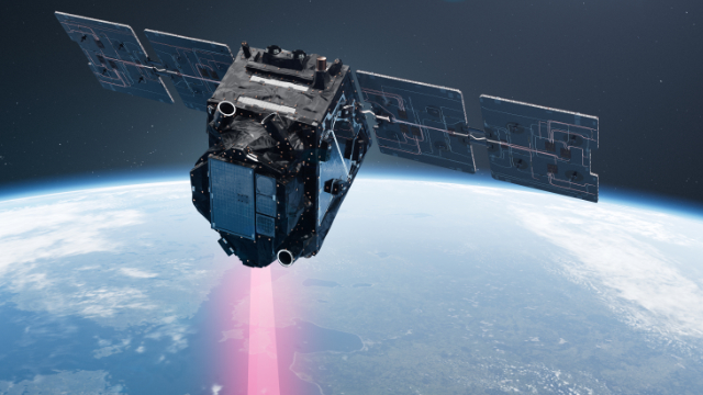
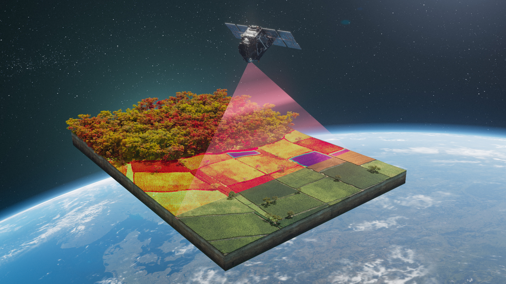
The answer: using a satellite. The European Space Agency (ESA) launched its Fluorescence Explorer (FLEX) mission in the early hours of 15 September. The aim of this mission is to provide global maps of fluorescence radiation emitted by vegetation, which is closely related to the process of plant photosynthesis. These new measurements will provide new insights into plant health, productivity and stress. According to ESA, the focus will not only be on the global carbon cycle and agriculture, but also on food security for the world’s growing population.
Measuring a virtually invisible light
“It is methodologically very challenging to measure this weak fluorescence signal emitted by plants. Until now, we simply didn’t have the appropriate sensor technology to do it,” says Alexander Damm-Reiser, Professor of Remote Sensing of Water Systems at the University of Zurich (UZH). The challenge involves distinguishing between how much of the signal measured by the satellite is merely reflected solar radiation, and how much was emitted by plants: When plants absorb atmospheric CO2 for their own growth and emit oxygen into the environment, they always glow dimly. This emitted radiation is invisible to us as it accounts for only a few percent compared to the reflected solar radiation, and it can only be measured in certain wavelength ranges. The strength of this weak signal is that it provides an indicator of how photosynthetically active and ultimately healthy the plant is.
Many preliminary studies and scientific requirements
As a doctoral student, Alexander Damm-Reiser was already drawn to the measurement of this signal and coupled plant processes. He took part in preliminary work for the current FLEX mission for the first time in 2007 as part of an international consortium commissioned by ESA. The UZH professor has been a member of the FLEX Mission Advisory Group since 2016. “Based on preliminary studies, we showed ESA at each stage of the project that the FLEX mission could be feasible and successful – and what is required for success,” says the geographer.
His specialist field is remote sensing, in particular imaging spectroscopy, and he uses various sensor technologies to study terrestrial and aquatic water systems. Damm-Reiser, together with his team based at UZH and at the aquatic research institute Eawag, develops methods to extract information on the Earth’s surface from remote sensing measurements. His team’s research also involves validating satellite data using specially maintained ground-based instruments.
Using ground and aircraft data as examples, they demonstrated the potential of fluorescence for estimating gross primary productivity or plant stress caused by water scarcity. Damm-Reiser also explored new avenues with research partners from Eawag to highlight the potential of FLEX to study lakes – for example, to estimate phytoplankton fluorescence or to distinguish different algae species.
Culmination of 20 years of work
On 15 September, this large international project finally took off, as FLEX was launched into space together with the Copernicus Sentinel-3 mission. “It's really exciting to see whether and how almost two decades of work will pay off. We’ve tested and evaluated so much. As soon as once we have the first global map, will we see the result,” says Damm-Reiser.
Over a three-and-a-half-year period, the land surface, coastal areas, and selected ocean regions will be captured once a month at a spatial resolution of 300 x 300 m per pixel. Damm-Reiser expects there to be several exciting images a year for Switzerland – depending on the weather conditions. “We will then be able to, for example, estimate the distribution of CO2 uptake in forests, recognize the development of damage caused by drought at an earlier stage, and study our lakes in even greater detail,” he says. It will take at least three years for all the data to be analyzed. After that, a decision may be made as to whether ESA or other organizations send an operational satellite into space to monitor the photosynthetic activity of plants on a permanent basis.